
Starting June 1st, 2023 Our warehouse fee will be $0.65/cubic foot per month
In effort to lower the warehouse storage fee during inflation, we have went narrow aisle racking.This construction took us four months but the project is finally completed. With narrow aisle racking, we are able to drop storage by 24%.We as partners will go through this inflation together.
08/05/2024
Traffic in the United States is extremely busy, especially on the highways. Few metrics are as telling as the volume of traffic on the country’s busiest highways. These asphalt and concrete roads are more than just a way to get from point A to point B; they are vital arteries that support the nation’s economy, connect bustling cities, and provide a glimpse into the daily lives of millions of commuters.
In this article, Worldcraft Logistics lists and provides detailed information on the busiest highways in the United States based on benchmark data from the Federal Highway Administration (FHWA) and Annual Average Daily Traffic (AADT).
As a trucking company that specializes in cross-border trucking services to the United States, both our delivery drivers and we are well-versed in the busiest highways in the U.S. We have shipped freight on many of these busy highways, and if you are considering adding them to your route, you may want to consider other options. In this article, we will list over 20+ of the busiest highways in the United States to help you choose the best route for your shipment.
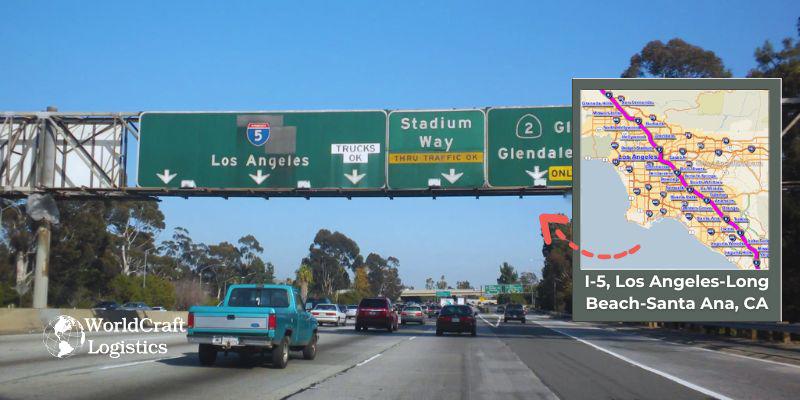
Interstate 5 (I-5) is a major north-south highway running through the Los Angeles-Long Beach-Santa Ana metropolitan area in California.
☑️ Designation: Interstate 5 (I-5)
☑️ Length: Approximately 1,381 miles (total length, with a significant portion through the Los Angeles-Long Beach-Santa Ana area)
☑️ Daily Vehicle Volume: Carries over 300,000 vehicles daily in some segments within the metropolitan area
☑️ Starts at: The southern terminus is at the Mexican border in San Ysidro, near San Diego, and it enters the Los Angeles metropolitan area from the south.
☑️ Ends at: The northern terminus is at the Canadian border in Blaine, Washington, but within the Los Angeles metropolitan area, it continues north through the Central Valley of California.
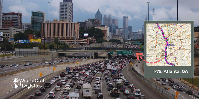
In Atlanta, I-75 is a crucial component of the city's transportation network, merging with I-85 to form the Downtown Connector and providing essential connections to major destinations and suburbs.
☑️ Designation: Interstate 75 (I-75) is a major north-south highway that runs through the southeastern United States.
☑️ Length: I-75 spans approximately 1,786 miles, making it one of the longest interstate highways in the country.
☑️ Daily Vehicle Volume: I-75 in Atlanta experiences significant traffic, with daily vehicle counts reaching up to 300,000 in some of the busiest segments, particularly through the Downtown Connector and major interchanges.
☑️ Starts at: I-75 begins in Miami, Florida, running northward through the southeastern United States.
☑️ Ends at: I-75 terminates in Sault Ste. Marie, Michigan, near the Canadian border, connecting various cities and regions along its route.
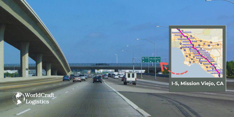
In Mission Viejo, I-5 is a major north-south highway that plays a crucial role in connecting the community with other parts of Southern California and beyond. It offers vital links to regional and national destinations, facilitating significant commuter and commercial traffic.
☑️ Designation: Interstate 5 (I-5)
☑️ Length: Approximately 1,381 miles (total length)
☑️ Daily Vehicle Volume: Over 200,000 vehicles daily in the Mission Viejo area
☑️ Starts at: San Ysidro, CA (at the US-Mexico border)
☑️ Ends at: Blaine, WA (at the Canadian border)
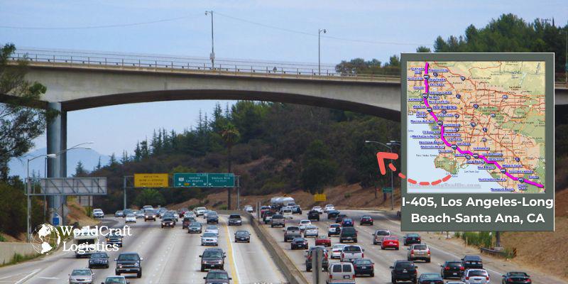
I-405 is a critical transportation corridor that connects various neighborhoods and business districts within the Los Angeles-Long Beach-Santa Ana metropolitan area, facilitating both local and regional travel across a densely populated and economically significant region.
☑️ Designation: Interstate 405 (I-405), also known as the San Diego Freeway.
☑️ Length: Approximately 72 miles.
☑️ Daily Vehicle Volume: I-405 is one of the busiest highways in the United States, with an average daily traffic volume of over 300,000 vehicles in some segments, particularly through the Los Angeles area.
☑️ Starts at: I-405 begins at an interchange with Interstate 5 (I-5) near the city of San Fernando in the northern part of Los Angeles County.
☑️ Ends at: I-405 extends southward, ending at an interchange with Interstate 5 (I-5) in the city of Long Beach, in the southwestern part of Los Angeles County.
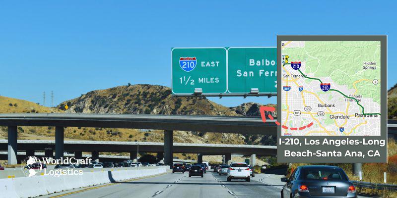
Interstate 210 (I-210), also known as the Foothill Freeway, is a significant east-west highway in the Los Angeles-Long Beach-Santa Ana metropolitan area.
☑️ Designation: I-210
☑️ Length: Approximately 86 miles
☑️ Starts at: Begins at an interchange with Interstate 5 (I-5) in Sylmar, in the northern part of Los Angeles.
☑️ Ends at: Ends at an interchange with Interstate 10 (I-10) in Redlands, in San Bernardino County.
☑️ Daily Vehicle Volume: I-210 accommodates over 250,000 vehicles daily, making it one of the busiest highways in the region.
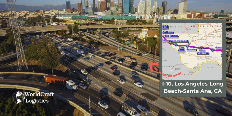
I-10 is a vital transportation corridor, linking major urban areas within Southern California and connecting the region to other states and cities across the country.
☑️ Designation: I-10, also known as the Santa Monica Freeway in the Los Angeles area and the San Bernardino Freeway further east.
☑️ Length: Approximately 2,460 miles, making it one of the longest interstates in the United States. In the Los Angeles-Long Beach-Santa Ana area, it spans about 25 miles.
☑️ Daily Vehicle Volume: I-10 is one of the busiest highways in Southern California, with daily vehicle volumes often exceeding 300,000 vehicles in some sections of Los Angeles.
☑️ Starts at: I-10 begins at the intersection with Interstate 110 (I-110) in downtown Los Angeles.
☑️ Ends at: It extends westward to the city of Santa Monica, ending at the Pacific Coast Highway (CA-1).
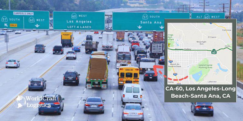
California State Route 60 is the only highway that ranks in the top 10 busiest highways that is not an interstate highway. The route is also known in parts as the Pomona Freeway and the Moreno Valley Freeway.
☑️ Designation: CA-60, also known as the Pomona Freeway, is a significant east-west state highway in Southern California.
☑️ Length: Approximately 66 miles.
☑️ Daily Vehicle Volume: CA-60 experiences high traffic volumes, with an average daily traffic count of around 200,000 vehicles in some areas, particularly near major interchanges and urban centers.
☑️ Starts at: The western terminus of CA-60 is at an interchange with Interstate 605 (I-605) in the city of East Los Angeles, which provides access to the eastern parts of Los Angeles.
☑️ Ends at: The eastern terminus of CA-60 is in the city of Beaumont, where it intersects with Interstate 10 (I-10), connecting to the Inland Empire and providing access to other parts of Southern California.
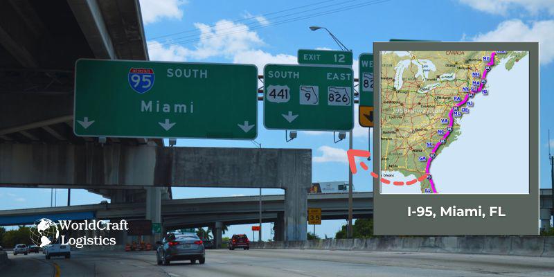
I-95 is a critical north-south route on the East Coast of the United States, and its segment through Miami is a major artery for both local and interstate travel.
☑️ Designation: I-95
☑️ Length: Approximately 1,912 miles, spanning from Miami, FL, to Houlton, ME.
☑️ Daily Vehicle Volume: I-95 in Miami experiences high traffic volumes, with over 200,000 vehicles traveling daily, especially in the central and downtown areas.
☑️ Starts at: I-95 begins in Miami, FL, at the interchange with I-395 and US Route 1 near Miami Beach.
☑️ Ends at: I-95 extends northward, ending at the Canadian border in Houlton, ME.
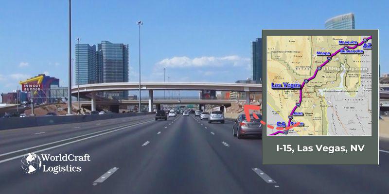
I-15 is a critical north-south highway that traverses several states, linking major cities and regions. In Las Vegas, it serves as a vital route for both local and through traffic, providing access to various neighborhoods, attractions, and connecting travelers to destinations beyond the city.
☑️ Designation: Interstate 15 (I-15)
☑️ Length: Approximately 1,433 miles
☑️ Daily Vehicle Volume: In the Las Vegas area, it handles around 200,000 vehicles per day, with fluctuations depending on the time of day and special events.
☑️ Southern Terminus: Starts at the California-Nevada border near Primm, NV.
☑️ Northern Terminus: Ends at the Canadian border in Sweet Grass, Montana.
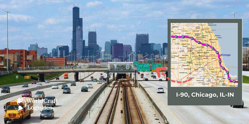
I-90 is a critical route for both local and interstate travel, connecting major cities across the country and providing essential links between Chicago and its neighboring states.
☑️ Designation: Interstate 90 (I-90) is a major east-west highway in the United States, known for being the longest interstate highway in the country.
☑️ Length: I-90 stretches approximately 3,020 miles from Seattle, Washington, to Boston, Massachusetts.
☑️ Daily Vehicle Volume: In the Chicago area, I-90 experiences heavy traffic with an average daily vehicle volume of around 250,000 to 300,000 vehicles, reflecting its importance as a key transportation corridor.
☑️ Starts at: In the Chicago, IL–IN area, I-90 begins at the interchange with Interstate 94 (I-94) and Interstate 290 (I-290) in downtown Chicago.
☑️ Ends at: The highway continues southeast, crossing into Indiana and ending at the state line where it transitions into the Indiana Toll Road.
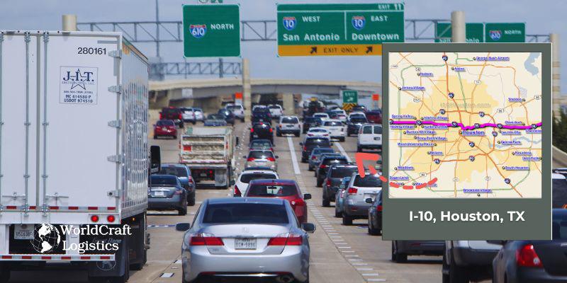
The primary east-west Interstate Highway in the Southern United States is called Interstate 10 (I-10[b]).
☑️ Designation: Interstate 10 (I-10)
☑️ Length: Approximately 2,460 miles (total length of I-10 across the U.S., with a significant portion passing through Houston)
☑️ Daily Vehicle Volume: Over 200,000 vehicles per day (varies by section; heavy traffic is common in urban areas)
☑️ Starts at: The western terminus of I-10 is in Santa Monica, California, but in Houston, it begins at the interchange with Interstate 610 (I-610) in the west part of the city.
☑️ Ends at: The eastern terminus of I-10 is in Jacksonville, Florida, but within Houston, it extends east to the interchange with U.S. Route 59 (US-59), transitioning into the Houston metropolitan freeway system.
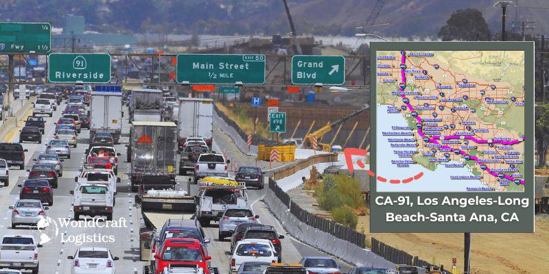
CA-91 serves as a crucial east-west transportation corridor connecting key areas of the Los Angeles-Long Beach-Santa Ana metropolitan region with the Inland Empire, facilitating both commuter and freight traffic across Southern California.
☑️ Designation: CA-91, also known as the Riverside Freeway.
☑️ Length: Approximately 72 miles.
☑️ Daily Vehicle Volume: CA-91 is a heavily trafficked freeway with an average daily vehicle volume ranging between 200,000 to 300,000 vehicles, particularly in the more urban sections of the freeway.
☑️ Starts at: The southern terminus of CA-91 begins at an interchange with Interstate 5 (I-5) in the city of Anaheim, Orange County.
☑️ Ends at: The northern terminus of CA-91 is located at an interchange with Interstate 215 (I-215) in the city of Riverside, in Riverside County.
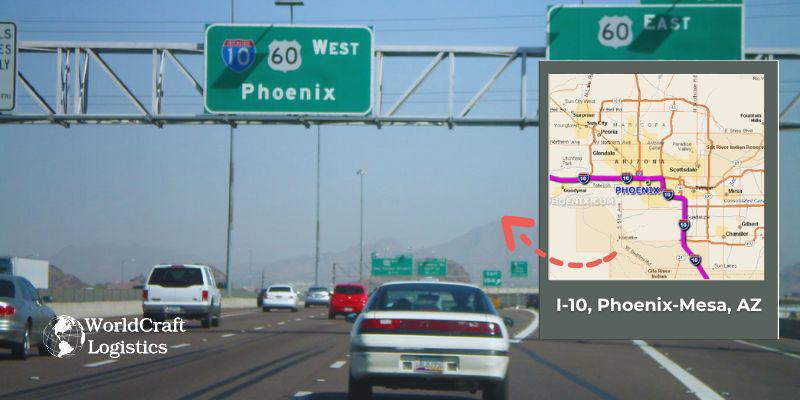
I-10 serves as a critical transportation corridor, connecting Phoenix to other major cities across the United States and providing essential links for commerce and travel throughout the region.
☑️ Designation: I-10, also known as the Dwight D. Eisenhower Highway, is a major east-west interstate highway.
☑️ Length in Phoenix-Mesa Area: Approximately 37 miles.
Daily Vehicle Volume: Traffic volumes in the Phoenix-Mesa area can reach up to 120,000 vehicles per day, making it a crucial route for both local and regional travel.
☑️ Starts at: In the Phoenix-Mesa area, I-10 begins at the western terminus near the junction with Interstate 17 (I-17) in Phoenix.
☑️ Ends at: I-10 extends east through the suburbs of Mesa and beyond, ending at the eastern terminus of the Phoenix-Mesa area near the junction with U.S. Route 60 (US-60) and State Route 202 (SR-202).
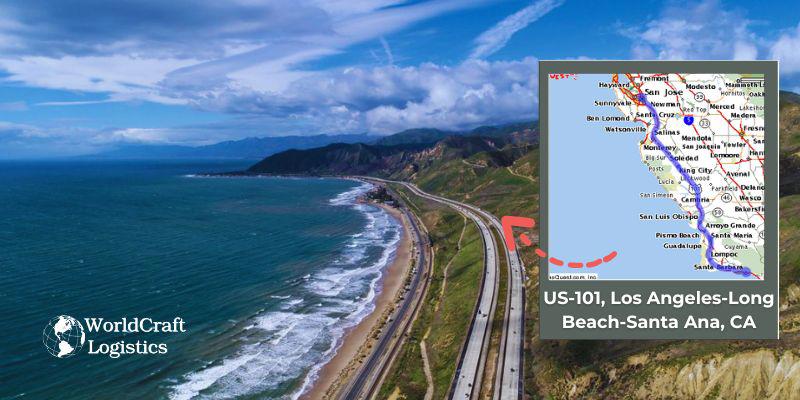
US-101 serves as a crucial north-south corridor connecting various parts of Southern California, providing access to major urban centers and suburban areas while accommodating a high volume of daily traffic.
☑️ Designation: US Highway 101 (US-101)
☑️ Length: Approximately 1,540 miles, with a significant stretch running through Southern California.
☑️ Daily Vehicle Volume: US-101 is a heavily traveled route in the Los Angeles-Long Beach-Santa Ana area, with daily vehicle volumes ranging from 100,000 to over 200,000 vehicles in certain segments, particularly through downtown Los Angeles and other busy areas.
☑️ Starts at: In the Los Angeles-Long Beach-Santa Ana region, US-101 begins at an interchange with Interstate 5 (I-5) in downtown Los Angeles.
☑️ Ends at: US-101 continues south through the Los Angeles-Long Beach-Santa Ana area, passing through cities such as Hollywood, San Fernando Valley, and ending at an interchange with Interstate 405 (I-405) in the San Fernando Valley.
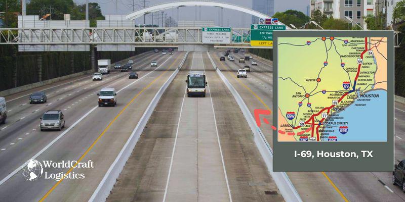
Houston, Texas's Interstate 69 (I-69) is a significant north-south route that is a portion of the wider I-69 corridor.
☑️ Designation: Interstate 69 (I-69)
☑️ Length: Approximately 1,600 miles (I-69 is a major interstate that extends from Texas to Michigan, though the segment in Houston is part of a larger network still under development.)
☑️ Daily Vehicle Volume: The daily vehicle volume for I-69 in Houston varies, but sections of the highway experience high traffic volumes due to its importance as a major transportation corridor.
☑️ Starts at: I-69 in Houston begins at the interchange with Interstate 10 (I-10) in the downtown area, providing access to both the central city and the wider metropolitan area.
☑️ Ends at: The segment of I-69 in Houston extends northward and connects to U.S. Highway 59, continuing further into the state of Texas.
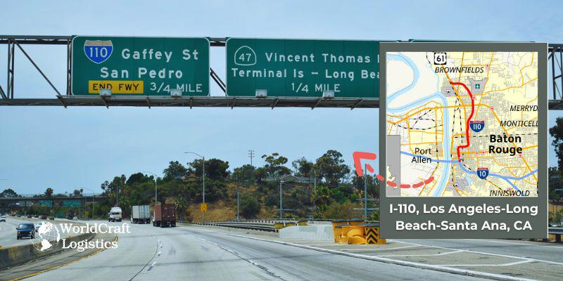
I-110, also known as the Harbor Freeway, is a major north-south route in the Los Angeles metropolitan area, connecting downtown Los Angeles with the South Los Angeles area and providing access to key destinations, including the Port of Los Angeles and the nearby waterfront.
☑️ Designation: I-110 (Harbor Freeway)
☑️ Length: Approximately 22 miles
☑️ Daily Vehicle Volume: Approximately 200,000 vehicles per day (varies by section)
☑️ Starts at: Interchange with Interstate 10 (I-10) near downtown Los Angeles
☑️ Ends at: Interchange with Interstate 405 (I-405) in the South Los Angeles area

In the U.S. state of Utah, Interstate 15 (I-15) travels north-south through the southwest and central regions of the state, traversing the majority of the state's population centers, including Provo–Orem, Salt Lake City, Ogden–Clearfield, and St. George.
☑️ Designation: I-15 (Interstate 15)
☑️ Length: Approximately 1,433 miles (I-15 spans from California to Montana, with the segment through Salt Lake City being part of this larger route).
☑️ Daily Vehicle Volume: Approximately 80,000 vehicles per day (varies by segment and location within Salt Lake City).
☑️ Starts at: I-15 enters Salt Lake City from the south at the interchange with I-215 in the area known as the "South Interchange."
☑️ Ends at: I-15 continues north through Salt Lake City, ending at the interchange with I-80 and US-89 in the downtown area.
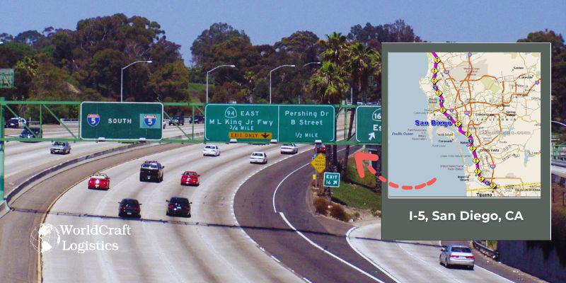
I-5 is a crucial corridor for both local and interstate travel, connecting major cities along the West Coast and providing access to key destinations within San Diego.
☑️ Designation: Interstate 5 (I-5)
☑️ Length: Approximately 1,381 miles (including the portion in San Diego)
☑️ Daily Vehicle Volume: I-5 in San Diego experiences significant traffic, with daily vehicle volumes varying by section. In the busiest areas, such as near downtown and major interchanges, traffic volumes can exceed 200,000 vehicles per day.
☑️ Starts at: The southern terminus of I-5 is at the San Ysidro border crossing, connecting San Diego with Tijuana, Mexico.
☑️ Ends at: The northern terminus of I-5 in San Diego is at the interchange with Interstate 8 (I-8), continuing north through the city and into the broader Los Angeles area.
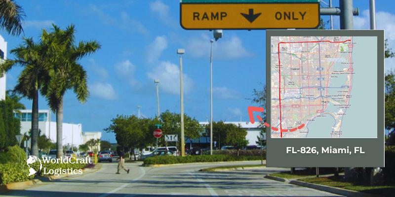
FL-826, also known as the Palmetto Expressway, is a crucial highway that facilitates travel across the Miami metropolitan area, connecting major cities and commercial hubs.
☑️ Designation: FL-826 (Palmetto Expressway)
☑️ Length: Approximately 29 miles
☑️ Daily Vehicle Volume: Varies by section, with some areas experiencing heavy traffic due to its role as a major thoroughfare in the Miami metropolitan area.
☑️ Starts at: Interchange with Interstate 95 (I-95) near Golden Glades in North Miami
☑️ Ends at: Interchange with U.S. Route 1 (US-1) in Kendall, Miami-Dade County
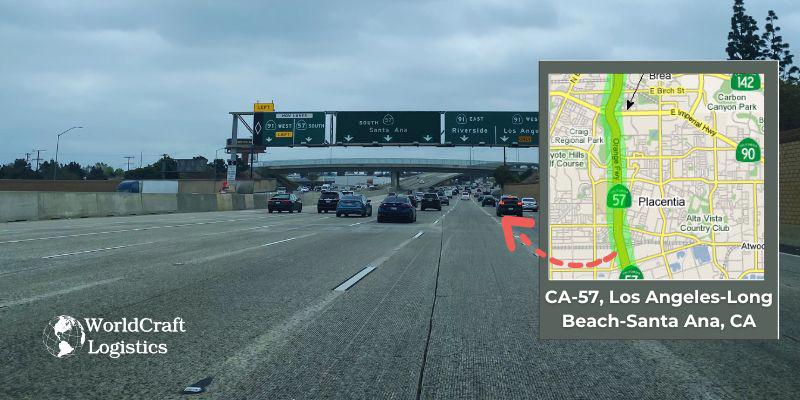
CA-57 provides essential connections between various cities and suburbs within the Los Angeles-Long Beach-Santa Ana metropolitan area, facilitating commuter and commercial traffic throughout the region.
☑️ Designation: CA-57, also known as the Orange Freeway, is a key north-south highway in Southern California.
☑️ Length: Approximately 26 miles.
☑️ Daily Vehicle Volume: The highway sees a high daily vehicle volume, reflecting its significance as a major transportation route in the Los Angeles-Long Beach-Santa Ana metropolitan area. Daily traffic counts can vary, with significant congestion during peak hours, particularly around major interchanges and downtown areas.
☑️ Starts at: CA-57 begins at an interchange with Interstate 5 (I-5) in Santa Ana, Orange County.
☑️ Ends at: The freeway terminates at an interchange with Interstate 210 (I-210) in Glendora, Los Angeles County.
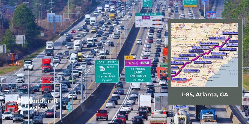
I-85 is a major north-south highway that provides a critical transportation link through Atlanta, connecting key areas and facilitating regional and interstate travel.
☑️ Designation: Interstate 85 (I-85)
☑️ Length: Approximately 666 miles, with about 30 miles running through Atlanta
☑️ Daily Vehicle Volume: I-85 experiences heavy traffic, particularly in the Atlanta metropolitan area, with volumes reaching up to 300,000 vehicles per day in some sections
☑️ Starts at: The southern terminus of I-85 begins at an interchange with Interstate 5 (I-5) in Santa Ana, California
☑️ Ends at: The northern terminus of I-85 ends at an interchange with Interstate 210 (I-210) in Petersburg, Virginia
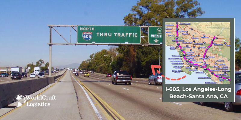
I-605 serves as a crucial north-south corridor in Southern California, connecting several key cities and providing access to major transportation routes across the region.
☑️ Designation: I-605, also known as the San Gabriel River Freeway.
☑️ Length: Approximately 27 miles.
☑️ Daily Vehicle Volume: I-605 handles a significant volume of traffic daily, with an estimated daily vehicle count of around 200,000 vehicles. Traffic volume can vary depending on the time of day and specific sections of the freeway.
☑️ Starts at: The southern terminus of I-605 is at an interchange with Interstate 405 (I-405) near Seal Beach in Orange County.
☑️ Ends at: The northern terminus is at an interchange with Interstate 210 (I-210) in Duarte, Los Angeles County.
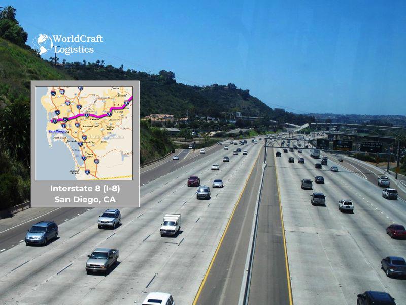
Interstate 8 (I-8) is a key east-west corridor within the Interstate Highway System, serving as a crucial link between the coastal city of San Diego and the inland regions of eastern California and Arizona. Here are some of the essential details about I-8:
☑️ Designation: I-8 is part of the United States Interstate Highway System.
☑️ Length: The entire highway spans approximately 350 miles, with the western portion beginning in San Diego.
☑️ Daily Vehicle Volume: In the San Diego area, I-8 handles an average of around 80,000 vehicles per day, reflecting its importance in regional transportation.
☑️ Starts At: The highway begins in San Diego, near the junction with Interstate 5.
☑️ Ends At: It terminates in Casa Grande, Arizona, where it connects with Interstate 10.
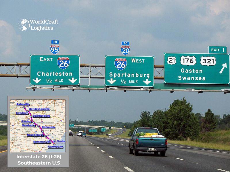
Interstate 26 (I-26) is a critical corridor within the U.S. Interstate Highway System that connects the Appalachian region with the Atlantic coast. Serving as a vital link for both passenger and freight traffic, I-26 enhances regional connectivity and economic activity across the Southeast.
☑️ Designation: I-26 is officially designated as part of the Interstate Highway System.
☑️ Length: The highway stretches approximately 300 miles, traversing parts of Tennessee, North Carolina, and South Carolina.
☑️ Daily Vehicle Volume: Traffic volumes along I-26 can vary; however, busy segments near metropolitan areas typically see tens of thousands of vehicles daily, underlining its importance as a major transportation route.
☑️ Starts At: I-26 begins near Kingsport, Tennessee, at an interchange with Interstate 81.
☑️ Ends At: The highway travels southeast and terminates in Charleston, South Carolina, a key port city on the Atlantic coast.
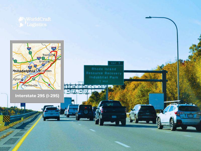
☑️ Interstate 295 (I-295) serves as a crucial auxiliary route in the densely populated urban areas of the Northeast. It functions as a bypass, easing congestion on primary interstates by offering an alternative route around the central business districts.
☑️ Designation: I-295 is officially designated as an auxiliary interstate highway, designed to improve traffic flow around major cities in the Northeast.
☑️ Length: While the exact length can vary by region, many key urban segments of I-295 span between 30 to 50 miles, providing significant relief from traffic bottlenecks in metropolitan areas.
☑️ Daily Vehicle Volume: In its busiest sections, I-295 handles high traffic volumes, often exceeding 80,000 vehicles per day. This high usage highlights its importance in managing urban traffic flow and supporting regional commerce.
☑️ Starts At: I-295 typically begins at an interchange with a primary interstate (often I-95) on the outskirts of a major urban area, where it diverges to form a bypass.
☑️ Ends At: The highway generally concludes at another major interchange, rejoining the primary route as it exits the urban core, thereby completing its role as a circulator and connector for suburban and urban traffic.
See more useful content of Worldcraft Logistics, it helps you grasp knowledge more promptly and accurately:
👉 Top 10+ largest sea ports in the US with billions of USD/year revenue
👉 Top 10 Best 4PL Businesses In The World Guaranteed Service
Highways are the lifeblood of the transportation industry, forming a network that facilitates the efficient movement of goods and people across vast distances. This infrastructure is critical to the economy, enabling commerce, connecting communities, and supporting various industries. Here, we delve into the pivotal role that highways play in the transportation sector.

Highways are essential for the transport of goods, providing a reliable and efficient means of moving freight across the country. They connect production centers, distribution hubs, and markets, ensuring that products reach their destinations on time.
Significance:
Speed and Efficiency: Highways allow for faster and more flexible delivery of goods compared to other modes of transport.
Cost-Effectiveness: Road transportation can be more economical, especially for short to medium distances, reducing overall logistics costs.
Accessibility: Highways provide direct access to rural and urban areas, ensuring that goods can be delivered to virtually any location.
The highway system underpins various economic activities, from manufacturing to retail. By connecting different regions, highways enable the flow of commerce and stimulate economic growth.
Significance:
Trade and Commerce: Highways are crucial for domestic trade, allowing businesses to transport raw materials and finished products efficiently.
Tourism and Services: The ease of travel provided by highways supports the tourism industry, enabling tourists to visit different destinations conveniently.
Job Creation: The construction and maintenance of highways create numerous jobs, contributing to the economy.
Highways improve regional connectivity by linking cities, towns, and rural areas. This connectivity is vital for the development of regions and the overall integration of the national economy.
Significance:
Interstate Travel: Highways facilitate interstate travel, making it easier for people to commute, relocate, and engage in business activities across state lines.
Community Access: They provide essential connections between urban and rural communities, ensuring access to services, employment opportunities, and markets.
Disaster Response: Highways are critical for emergency response and disaster relief, enabling the swift movement of aid and personnel.
The efficiency of supply chains heavily relies on an effective highway system. Highways enable just-in-time delivery and the smooth operation of logistics networks.
Significance:
Inventory Management: Highways support the timely delivery of goods, reducing the need for large inventories and lowering storage costs.
Distribution Networks: They are integral to the functioning of distribution centers and warehouses, ensuring the rapid movement of goods.
Global Trade: Highways connect to ports and airports, facilitating international trade by enabling the seamless transfer of goods between different modes of transportation.
Modern highways are increasingly incorporating sustainable practices and advanced technologies to reduce environmental impact and enhance efficiency.
Significance:
Eco-Friendly Designs: The integration of green technologies, such as solar panels and electric vehicle charging stations, helps reduce the carbon footprint of road transport.
Smart Highways: Technological advancements, such as smart traffic management systems and autonomous vehicles, improve traffic flow and safety on highways.
Sustainable Materials: The use of recycled materials in highway construction and maintenance promotes environmental sustainability.
Here is the most comprehensive information about major routes in the United States serving transportation and travel needs. Discover the efficiency and reliability of WorldCraft Logistics' trucking services!
At WorldCraft Logistics, we pride ourselves on delivering exceptional transportation solutions tailored to meet your needs. Our fleet of modern, well-maintained trucks ensures timely and secure delivery of goods across various routes. With a commitment to customer satisfaction and safety, we offer flexible scheduling and real-time tracking for peace of mind. Choose WorldCraft Logistics for your trucking needs and experience a new standard of excellence in logistics.
SEO
Digital Marketing/SEO Specialist
Simon Mang is an SEO and Digital Marketing expert at Wordcraft Logistics. With many years of experience in the field of digital marketing, he has shaped and built strategies to effectively promote Wordcraft Logistics' online presence. With a deep understanding of the logistics industry, I have shared more than 500 specialized articles on many different topics.
Hot News
08/05/2024

Hot News
02/23/2023

Hot News
02/23/2023
Hot News
02/06/2023
Hot News
02/07/2023